Up a Creek
Discover Magazine, 2005
Map illustration to accompany an article about an expedition down the Saganavirktok River in Alaska, mounted by a science writer and several climate experts, to observe the effects of global climate change.
I created these pieces by taking imagery for the region from several Landsat 7 wavelength bands, merging them to create a synthetic true-color image, and then draping the resulting composites over a three-dimensional USGS DEM terrain model.
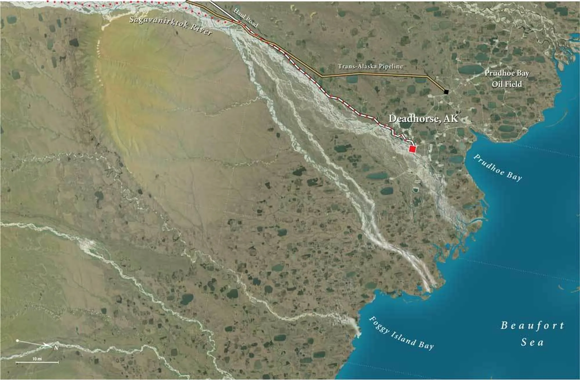
Detail of Prudhoe Bay, Alaska
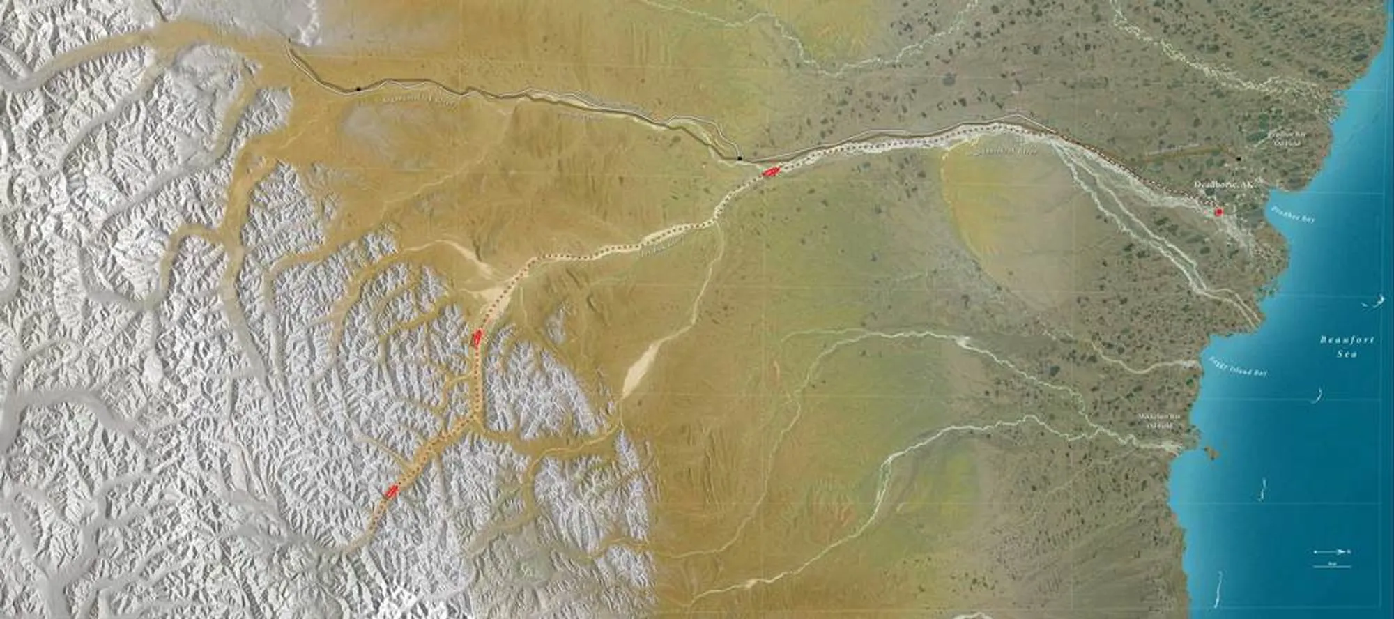
Full expedition route
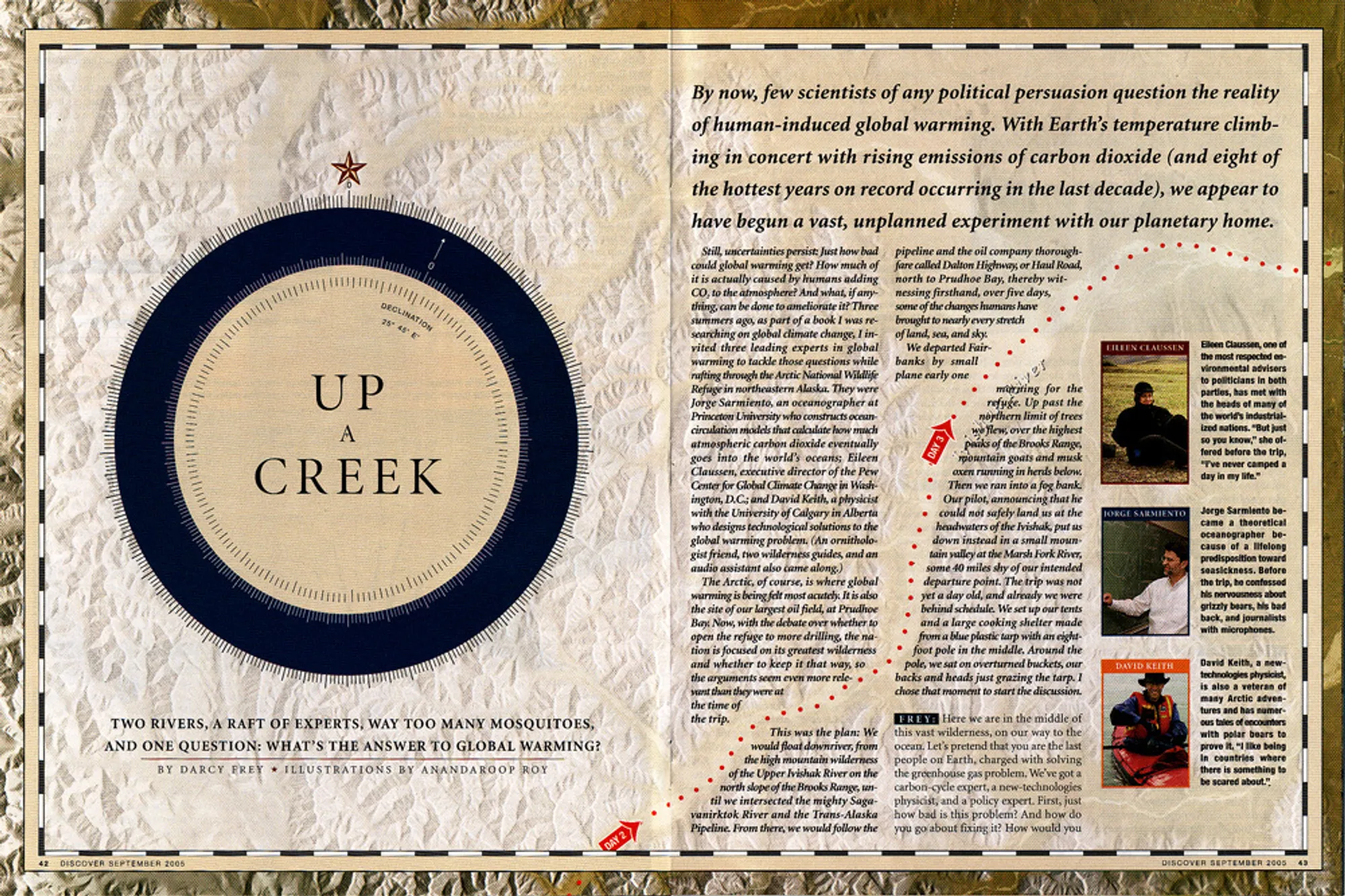
The illustration had to be sized so as to span eight pages of the magazine at high resolution. The resulting composite file was immense - approx 2GB. But it did allow for detailed usage in the layout, as shown on the opening spread here. (Art direction by Jason Lancaster)